


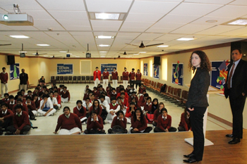
Recently, a team from the Geographic Information System [or more commonly referred to as GIS] visited GD Goenka World School, to bring to light, a programme that they had recently developed to give high school students, an opportunity to get a hands-on experience at developing mapping systems based on geo-spatial data.
 The company, integrates various types of hardware and software for developing geographical data programs or rather systems, with the help of which people are able to navigate their way through various cities, forecast the upcoming weather, locate resources, analyse topographies of various regions on earth, and also analyse patterns and charts based on data collected. The presentation was indeed, very informative .


